
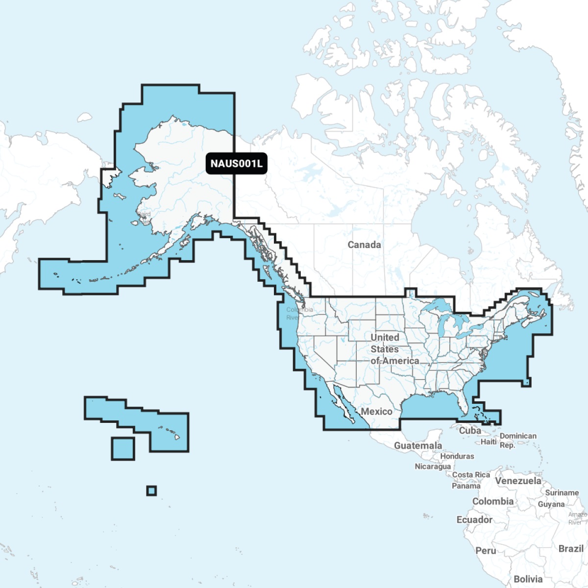
Navionics 010-C1366-30 Plus NAUS001L US and Coastal Canada MicroSD
Can't find the exact part? Request it and we'll source it for you.
Product Highlights
Description
Navionics Plus NAUS001L U.S. and Coastal Canada microSD
Model: 010-C1366-30- Integrated Garmin and Navionics(R) content provides exceptional coverage, clarity and detail in a familiar look and feel
- Easy access to daily chart updates is available via the Navionics(R) Chart Installer software or wirelessly via the Plotter Sync feature with the Navionics Boating app (The Plotter Sync feature requires use of the Navionics Boating app on your compatible smart device with an active subscription of the same area.)
- Navionics(R) advanced dock-to dock route guidance technology uses your boat settings, along with chart data and frequently traveled routes, to calculate a suggested path to follow (Route guidance is for planning purposes only and does not replace safe navigation operations.)
- Download the Community Edits content layer to any Navionics(R) card, and view this valuable, local information - contributed by Navionics Boating app users - on your compatible chartplotter
- For improved fishing and navigation, SonarChartTM HD bathymetry maps display up to 1 feet (0.5 meter) contours, providing a more detailed depiction of bottom structure
- Fishing range advanced feature lets you highlight a user-defined target depth range
- To aid in navigation, the shallow water shading advanced feature highlights depths up to a user-defined level
- SonarChartTM Live mapping feature allows boaters to create new personal 1 feet HD bathymetry maps that display in real time on the screens of their compatible plotters while navigating
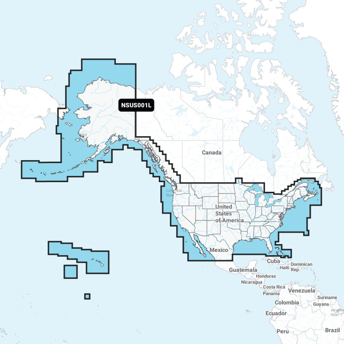
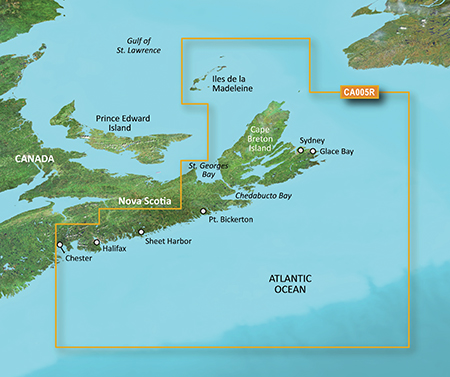
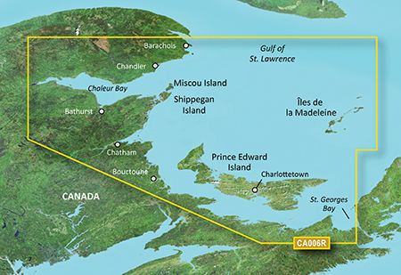
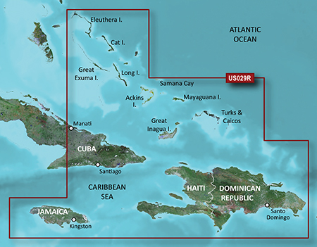
Detailed coverage of the entire U.S. coasts, lakes, rivers and inland waterways, plus Alaska and Hawaii. Canada coverage of coastal British Columbia, the Great Lakes, the St. Lawrence Seaway, New Brunswick and Nova Scotia. Coverage includes Bermuda, the Bahamas, Baja California, the Gulf of California, Johnston Atoll and Palmyra Atoll/Kingman Reef.
Get the world's No. 1 choice in marine mapping (based on 2020 reported sales) - with the best, most up-to-date Navionics(R)+ cartography on your compatible chartplotter. For offshore or inland waters, this all-in-one solution offers detail-rich integrated mapping of coastal waters, lakes, rivers and more. Get SonarChartTM 1 feet (0.5 meter) HD bathymetry maps, advanced features such as dock-to-dock route guidance technology (depending on chartplotter model), live mapping and Plotter Sync to provide wireless access to daily updates. The Navionics(R) Chart Installer software also ensures the freshest chart data every time out. Navionics route guidance solutions give you a suggested dock-to-dock path to follow through channels, inlets, marina entrances and more. (Route guidance is for planning purposes only and does not replace safe navigation operations.) Multiple shading options aid in shallow water navigation and make it easy to highlight a target depth range for the best fishing spots.
Specs
- Brand
- Navionics
- SKU
- BVD-76898
- Category
- Charts & Cartography
- Weight
- 0.25 lbs
- Dimensions
- 6.0 x 5.0 x 0.5
- Price
- $199.00
- Availability
- In stock
- Rating
- 4.5 / 5.0
Contact
You May Also Need
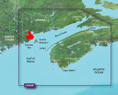
 In stock
View Product
In stock
View Product
Garmin
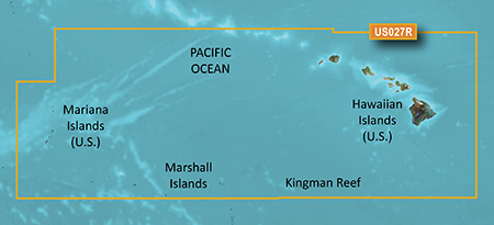
Garmin 010-C0728-20 HXUS027R G3 Micro SD Hawaiian and Mariana IslandsSKU: O05-40356
 In stock
View Product
In stock
View Product
Garmin
Garmin 010-C1285-20 NSSA004L Navionics+ Mexico to Brazil MicroSDSKU: MWA-83728
 In stock
View Product
In stock
View Product
Garmin
Garmin 010-C1287-20 NSUS001L Navionics+ U.S. & Coastal Canada MicroSDSKU: RYH-18560
 In stock
View Product
In stock
View Product
Garmin
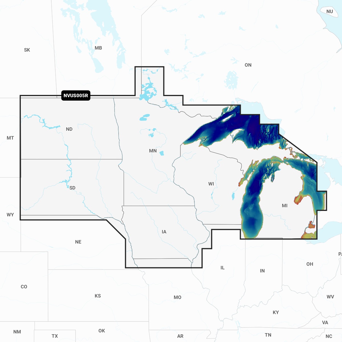
Garmin 010-C1289-00 NVUS005R Navionics+ Vision+ U.S. North MicroSDSKU: GIF-64084
Need help finding the right part?
Fill out a request and our team will get back to you shortly.