
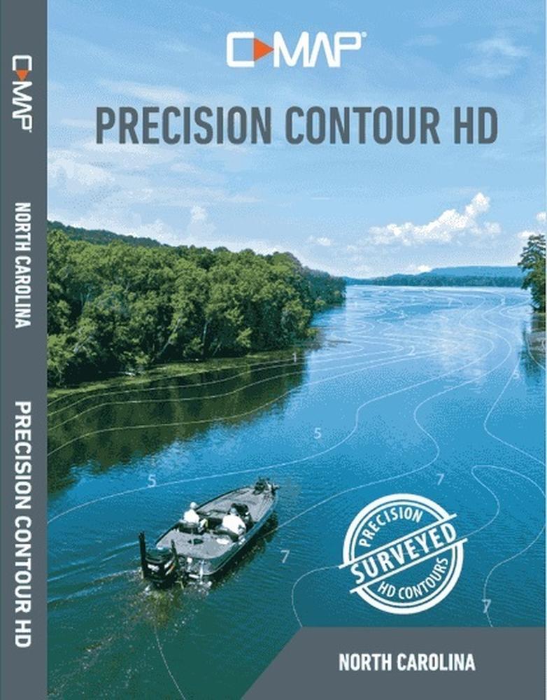
C-MAP M-NA-Y704-MS Precision Contour HD North Carolina for Navico
Can't find the exact part? Request it and we'll source it for you.
Product Highlights
Description
C-Map Preceision Contour HD Max North Carolina microSD
Model: m-NA-Y704-MS- 1-foot contours visible even at wide zoom levels
- Custom Color Depth Shading
- Choose custom colors for specific depth ranges, which allows highlighting for fish-holding depths and/or hazard zones
- Satellite imagery layer
- High-resolution satellite imagery
- 3 viewing options: Water & Land, Water Only, Land Only
- Traditional POIs
- Includes traditional navigation info and Fishing Hots Spots data
C-MAP PRECISION CONTOUR HD charts of North Carolina. C-MAP Precision Contour HD is a premium mapping product that incorporates professionally executed lake surveys, with Genesis Social Map data and traditional mapping data to provide tournament anglers the best possible fishing maps
Meticulously surveyed to 1-foot increments in shallow-draft boats by C-MAP's survey crew with innovative Genesis Edge technology, C-MAP Precision Contour HD maps include the shallow backwaters and distant creek arms that other map cards overlook, as well as comprehensive coverage of key fish-holding bottom structure such as humps and holes, reefs and shoals, drains and ditches, ledges and break lines. The PCHD maps on this card are much more detailed than Navionics charts (and cover more creek arms and backwaters) and are equal to, and often better than, LakeMaster charts for the same waterbodies). PCHD maps will enable competitive and recreational Lowrance-using anglers to find and catch more fish.
Specs
- Brand
- C-Map
- SKU
- ULO-11749
- Category
- Charts & Cartography
- Weight
- 0.2 lbs
- Dimensions
- 6.0 x 5.0 x 0.5
- Price
- $185.00
- Availability
- In stock
- Rating
- 4.5 / 5.0
Contact
You May Also Need
 In stock
View Product
In stock
View Product
Garmin
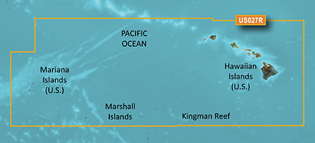
Garmin 010-C0728-20 HXUS027R G3 Micro SD Hawaiian and Mariana IslandsSKU: O05-40356
 In stock
View Product
In stock
View Product
Garmin
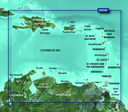
Garmin 010-C1285-20 NSSA004L Navionics+ Mexico to Brazil MicroSDSKU: MWA-83728
 In stock
View Product
In stock
View Product
Garmin
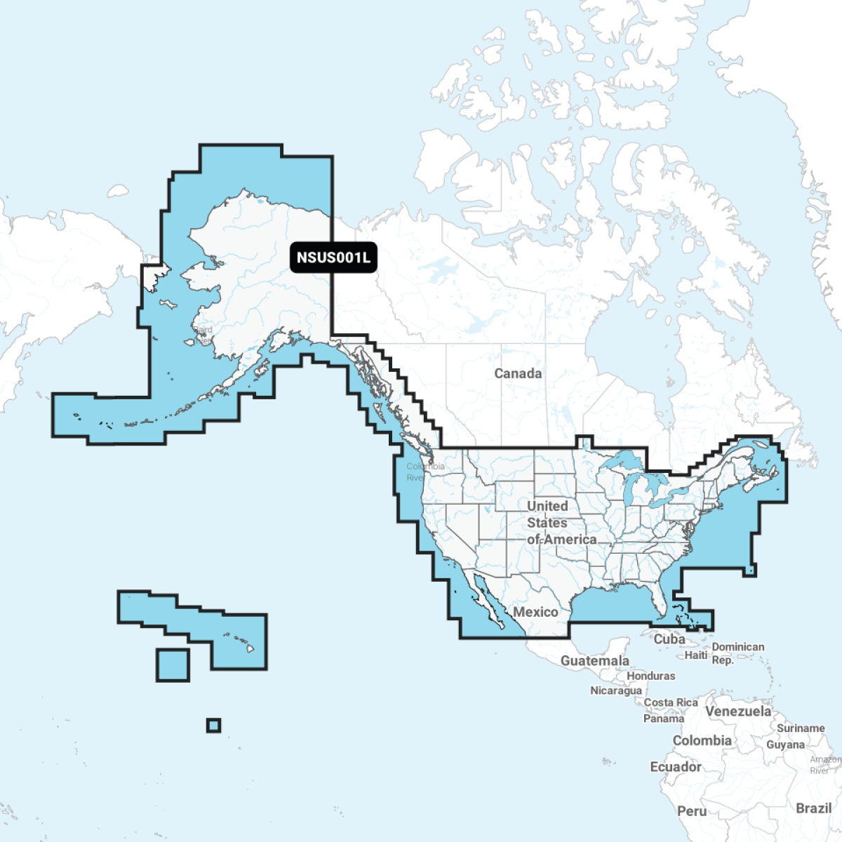
Garmin 010-C1287-20 NSUS001L Navionics+ U.S. & Coastal Canada MicroSDSKU: RYH-18560
 In stock
View Product
In stock
View Product
Garmin
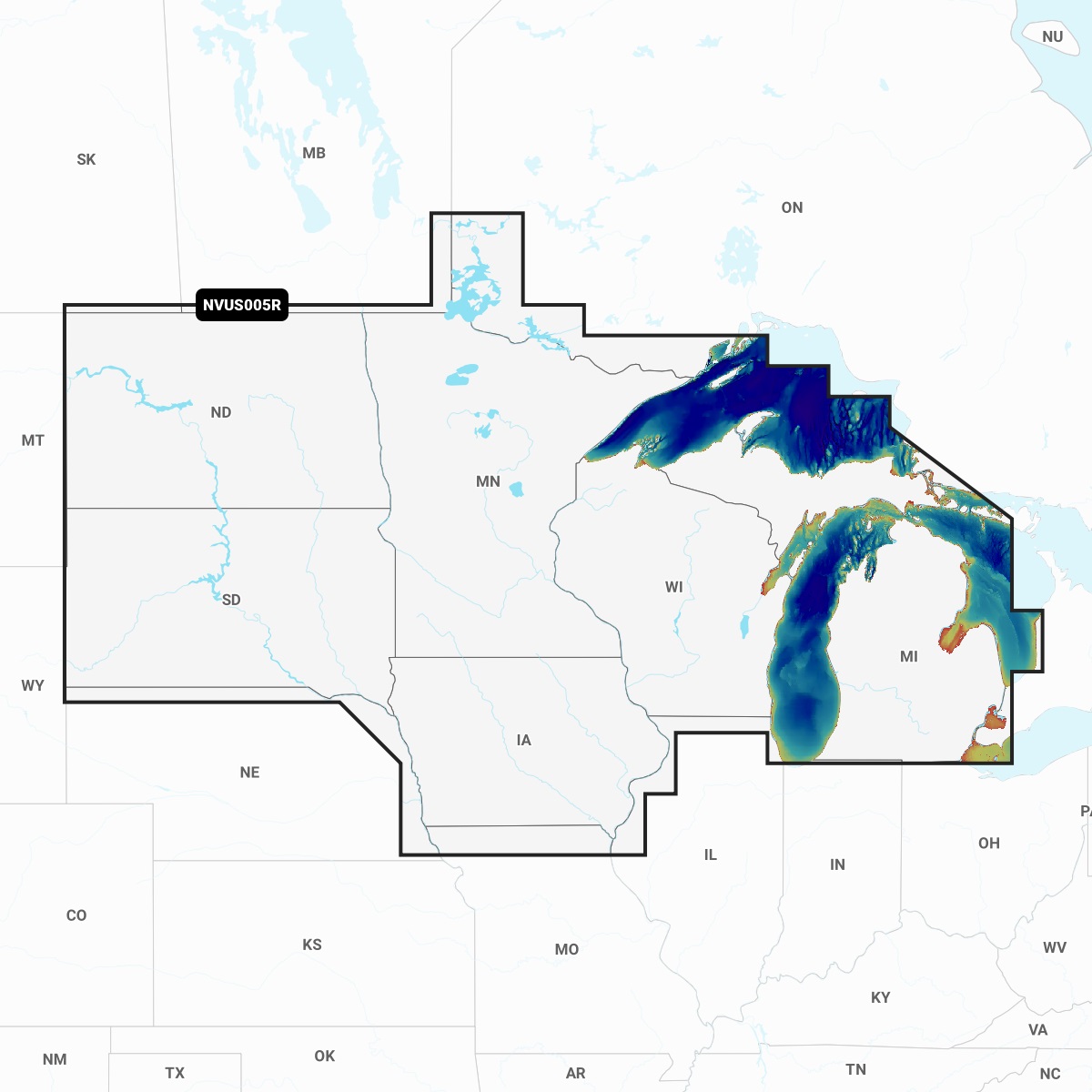
Garmin 010-C1289-00 NVUS005R Navionics+ Vision+ U.S. North MicroSDSKU: GIF-64084
Need help finding the right part?
Fill out a request and our team will get back to you shortly.