

C-MAP M-NA-M033-CC NA-M033 Max MegaWide C Card Atlantic Coast, Gulf of Mexico and Caribbean
Currently out of stock
Call or email us for pricing, lead time and alternatives — we source this part on request.
Or email sales@texpertdeals.us
Product Highlights
Description
C-MAP NA-M033 Max MegaWide
Model: M-NA-M033-CC- Updated twice annually to provide all the latest detail and information
- Compatible with dozens of chartplotters from top manufacturers
- Extensive coverage of coastal waters, lakes and rivers
C-MAP MAX electronic charts have been a worldwide standard for years, providing cruisers, sailors and fishermen with the accurate, up-to-date chart data they need to enjoy each day on the water. Still a leading choice of navigators and chartplotter manufacturers around the globe.
Specifications| Yes | |
| Dynamic tides | Yes |
| Gaurdian alarm | Yes |
| Detailed marina port plans | Yes |
| Photos and diagrams | Yes |
| Route-check | Yes |
| Depths and land elevation | Yes |
| Detailed harbor | Yes |
| Perspective view | Yes |
| C-Marina Port Database | Yes |
| Points of interest | Yes |
| Multi-language capability | Yes |
Specs
- Brand
- C-Map
- SKU
- CMAMNAM033CC
- Category
- Charts & Cartography
- Weight
- 0.1 lbs
- Dimensions
- 6.0 x 5.0 x 0.5
- Price
- $385.00
- Availability
- Call for pricing
- Rating
- 0 / 5.0
Contact
You May Also Need
 Call for pricing
View Product
Garmin
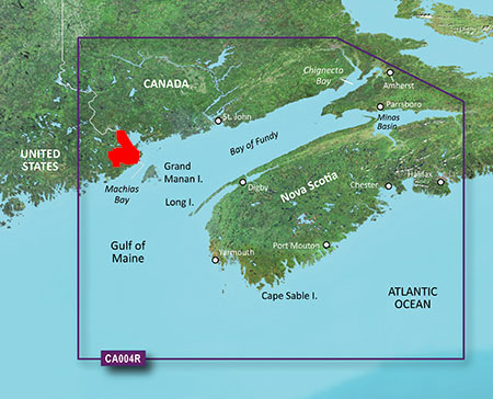
Garmin 010-C0690-00 VCA004R G3 Vision Bay of FundySKU: GAR010C069000
Shipsfrom manufacturer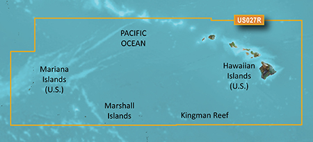 Call for pricing
View Product
Garmin
Garmin 010-C0728-20 HXUS027R G3 Micro SD Hawaiian and Mariana IslandsSKU: GAR010C072820
Shipsfrom manufacturer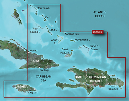 Last One Left
View Product
Garmin
Garmin 010-C0730-00 VUS029R G3 Vision Southern BahamasSKU: GAR010C073000
Shipsfrom manufacturer Last One Left
View Product
Garmin
Garmin 010-C1285-20 NSSA004L Navionics+ Mexico to Brazil MicroSDSKU: GAR010C128520
Shipsfrom manufacturer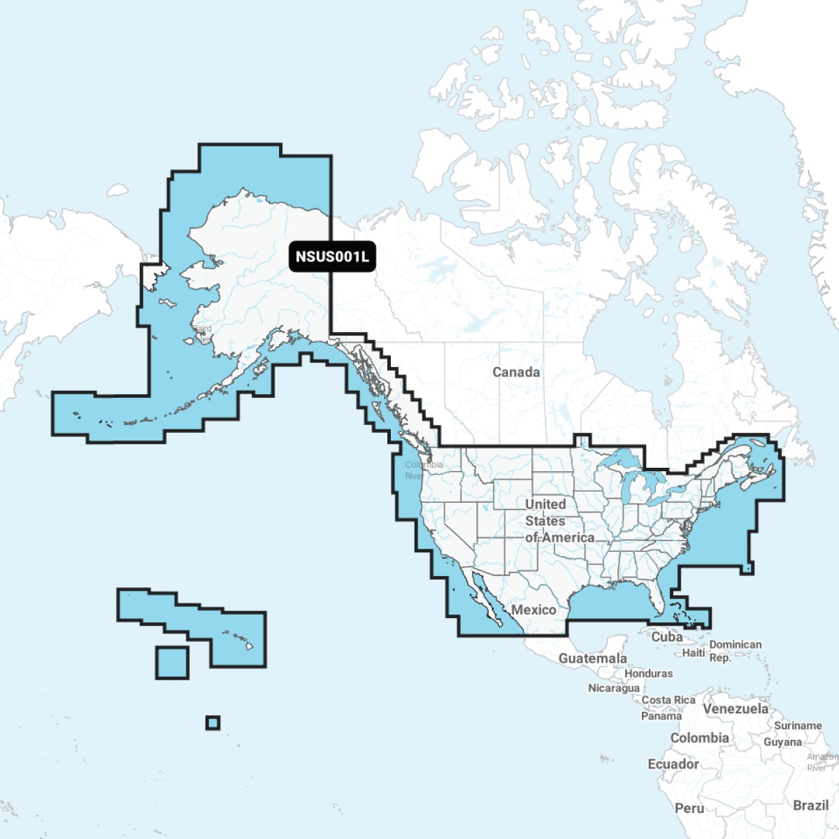 In Stock
View Product
Garmin
Garmin 010-C1287-20 NSUS001L Navionics+ U.S. & Coastal Canada MicroSDSKU: GAR010C128720
Shipsfrom manufacturer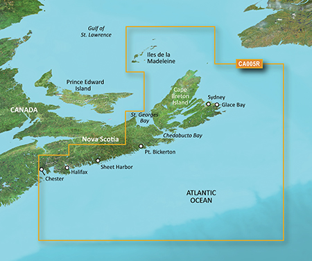 Call for pricing
View Product
Garmin
Garmin 010-C0691-00 VCA005R G3 Vision Halifax to Cape BretonSKU: GAR010C069100
Shipsfrom manufacturer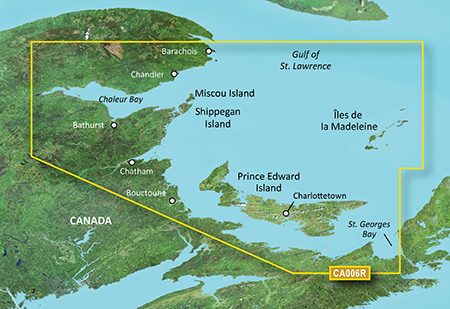 Call for pricing
View Product
Garmin
Garmin 010-C0692-00 VCA006R G3 Vision P.E.I to Chaleur BaySKU: GAR010C069200
Shipsfrom manufacturer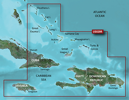 Call for pricing
View Product
Garmin
Garmin 010-C0730-20 HXUS029R G3 Micro SD Souther BahamasSKU: GAR010C073020
Shipsfrom manufacturer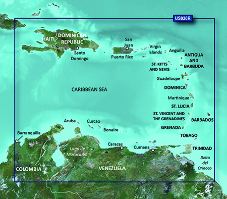 Last One Left
View Product
Garmin
Garmin 010-C0731-00 VUS030R G3 Vision Southeast CaribbeanSKU: GAR010C073100
Shipsfrom manufacturer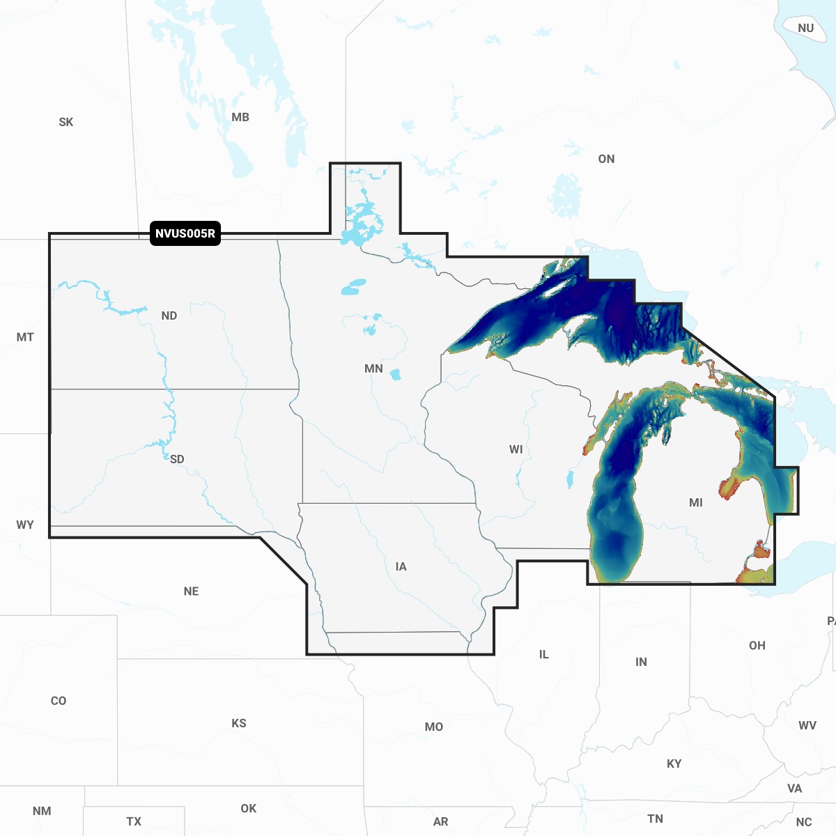 In Stock
View Product
Garmin
Garmin 010-C1289-00 NVUS005R Navionics+ Vision+ U.S. North MicroSDSKU: GAR010C128900
Shipsfrom manufacturerNot sure this is the right part?
Contact our support team before ordering and we'll help you verify the product details.
Need to return it?
30-day returns • Clear return process • See our full policy
Product Reviews
0
out of 5 · 0 reviews
No reviews yet
Be the first to review this product.